Siñari Jachaplano
Tourism Cooperative in Nor Yungas, Bolivia
1.5 hours from La Paz on National Route 3, just before the turn-off to Coroico. Cloud forest, high-altitude coffee and tourism controlled by the community itself.
Discover the Path of Life →Nor Yungas
The territory
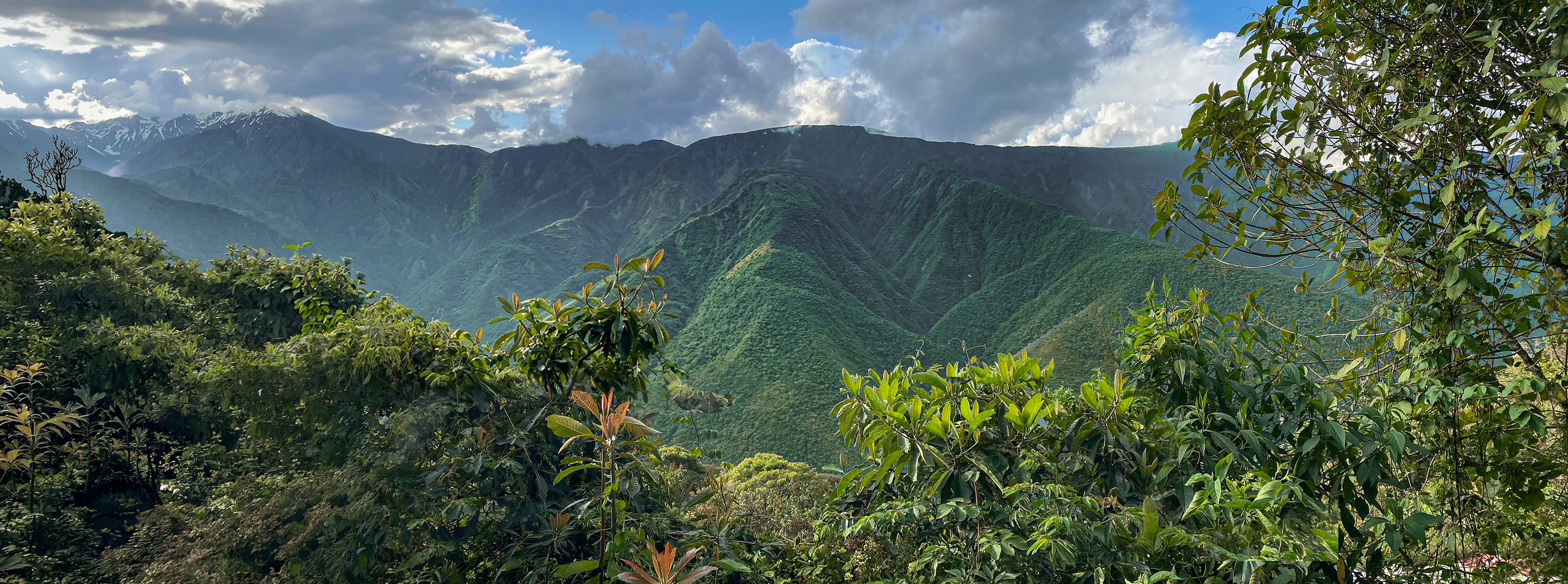
Siñari Jacha Plano lies in the canton of Pacollo, Municipality of Coroico, at around 2,100 metres, on 1,031 hectares of communal land. The Chairo River bounds it to the west; Cotapata National Park and Integrated Management Natural Area bounds it to the east and south. It is humid montane forest, in the band where the Andes drop towards the Amazon.
Steep slopes, ravines, mountain rivers and frequent fog. Within a short distance the terrain creates several microclimates and keeps the constant humidity that defines the Yungas.
Location
Pacollo canton, Municipality of Coroico, Nor Yungas, La Paz, Bolivia.
Altitude
Approximately 2,100 m.
Access
National Route 3, paved, 1.5 hours from La Paz. This is not the Death Road.
Area
1,031 ha of communal land, per the INRA cadastral plan (2010).
Boundaries
Cotapata National Park and IMNA to the east and south, Chairo River to the west, Cotapata–Santa Bárbara road to the east, Chinchita estate to the north.